Singapore's Marine Spatial Data System, GEOSPACE-SEA, Facilitates Hydrospatial Contextualization
In a significant move towards sustainable marine resource management and integrated urban coastal zone management, the Maritime and Port Authority of Singapore (MPA) announced the setting up of a national Marine Spatial Data Infrastructure (MSDI) initiative called 'GeoSpace-Sea' in June 2019.
GeoSpace-Sea aims to establish a comprehensive marine spatial plan, complementing Singapore's terrestrial-based spatial data infrastructure. It is envisioned as the source for integrated knowledge-based planning and development, with a focus on enhancing the repository by integrating near real-time data and enabling hydrospatial end-user applications.
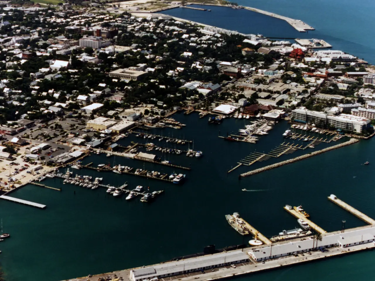
Singapore's sea space, home to about a third of the world's hermatypic coral species and at least 994 marine intertidal species, is categorized into various use-cases and activities. Most of Singapore's sea space are port waters, but the expanding users and uses necessitate a move beyond port planning. This diversity of stakeholders, including government, industry, academia, and public users, calls for a coordinated approach to manage the sea space effectively.
The first phase of GeoSpace-Sea aimed to establish partnerships, implement the Geographic Information System (GIS) infrastructure, and provide access to government stakeholders. The next phase is expected to create access for institutes of higher learnings and public end-user groups.
The MPA collaborated with 11 other government agencies and academic representatives for the marine component of the national SDI. This collaboration reflects the importance placed on data integration and coordination in managing Singapore's maritime industry, which contributes 7% of the country's Gross Domestic Product (GDP) and employs over 170,000 people.
While the specific catalysts that led to the establishment of Singapore’s 'GeoSpace-Sea' are not explicitly detailed, they are likely to include increasing maritime activities needing coordinated spatial data, governmental policy directions towards integrated marine data management, advancements in geospatial technology, and the need for sustainable marine resource management.
Local scientists and community have recommended a coordinated marine database for sustainable management of sea space, as per 'The Singapore Blue Plan 2018'. Mr. Khoo Teng Chye, Executive Director, Centre for Liveable Cities, emphasized the need for an inventory of historical and present information to support informed decision-making for marine spatial planning.
As Singapore continues to develop and expand its maritime industry and marine conservation efforts, GeoSpace-Sea is poised to play a crucial role in ensuring the sustainable and efficient use of its sea space.
- The coastal zone management in Singapore is being significantly enhanced through the establishment of a national Marine Spatial Data Infrastructure (MSDI) called 'GeoSpace-Sea'.
- GeoSpace-Sea is designed to establish a comprehensive marine spatial plan, integrating near real-time data and enabling hydrospatial end-user applications.
- The focus of GeoSpace-Sea is on enhancing the repository by integrating various marine science disciplines and climate-change data.
- The diversity of stakeholders in Singapore's sea space, including industry, academia, and the public, necessitates a coordinated approach to manage the sea space effectively.
- The expanding renewable-energy sector and environmental-science research in Singapore's marine environment require the comprehensive data management offered by GeoSpace-Sea.
- The setting up of GeoSpace-Sea also signifies a shift in finance and business strategies, as the maritime industry contributes significantly to Singapore's economy.
- Data-and-cloud-computing technology will play a crucial role in Powering GeoSpace-Sea, ensuring its efficiency and scalability in managing marine spatial data.
- Education-and-self-development institutions will have access to GeoSpace-Sea, promoting online-education and lifelong-learning opportunities in marine science and environmental-science.
- The sports industry, particularly horse-racing, could benefit from the spatial data and analytics provided by GeoSpace-Sea, improving race course management and safety measures.
- With GeoSpace-Sea, Singapore is demonstrating its commitment to sustainable development, managing its marine resources effectively, and integrating them into its overall urban coastal zone management strategy.


